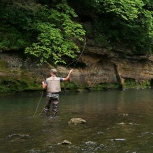
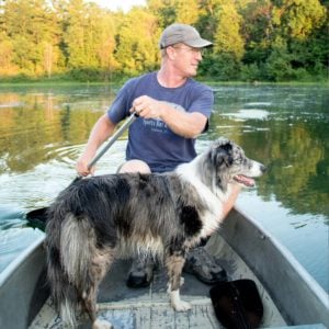
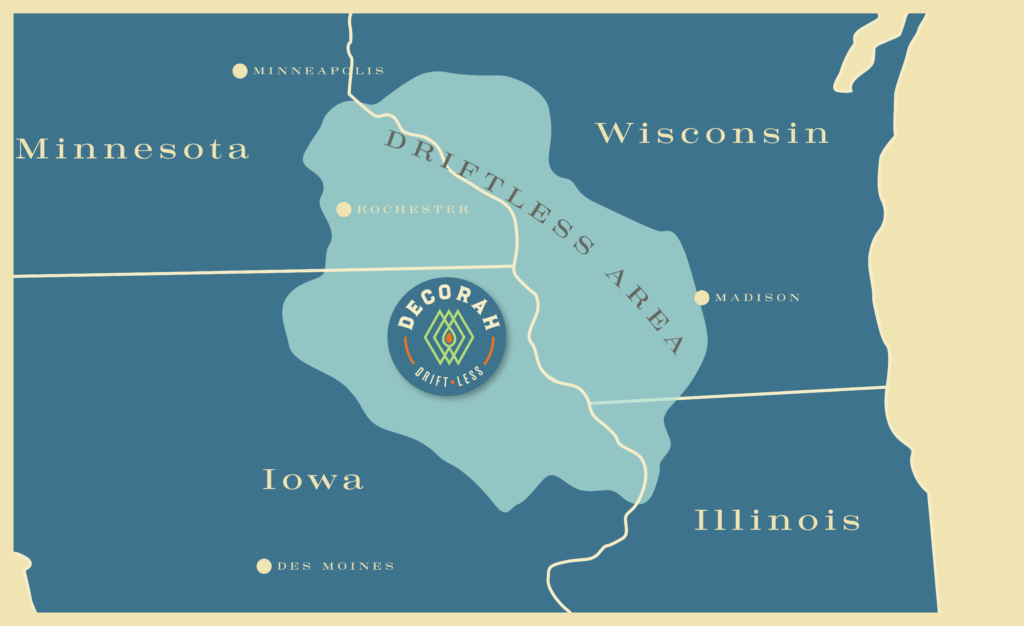
We’re in the Driftless, a part of the country the glaciers missed, leaving hills, rivers and limestone bluffs that draw outdoor enthusiasts of all kinds.
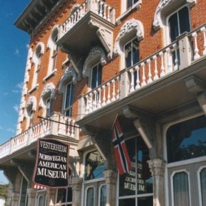
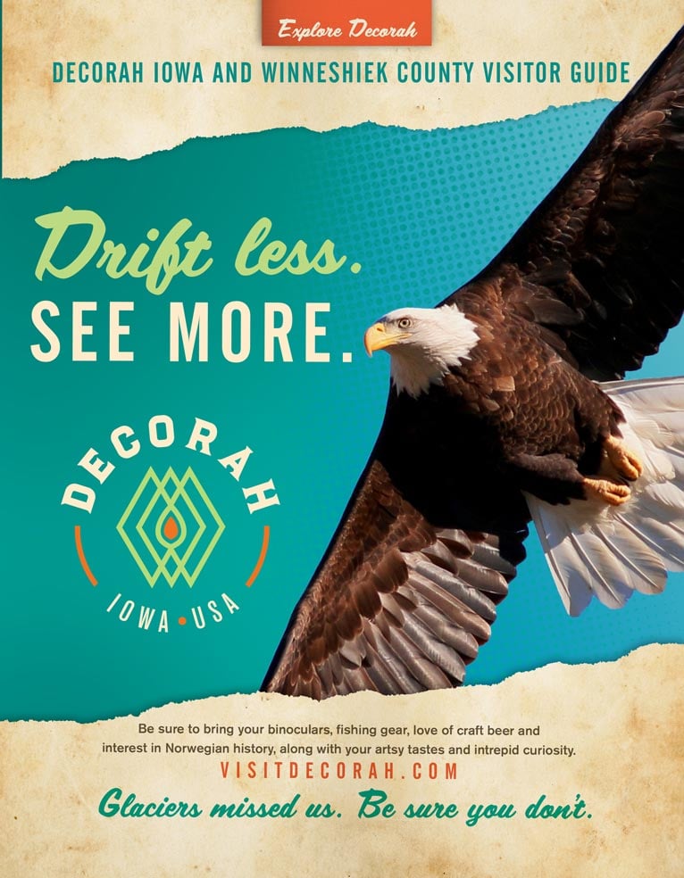
When you visit, be sure to bring your bike, your binoculars, a kayak or two, and an interest in all things Norwegian. And don’t forget to pack your fly fishing gear, along with your love of craft beer, bald eagles, charming downtowns, and your passion for Laura Ingalls Wilder.